1. Setting Off: Morning Light over Clermont-Ferrand
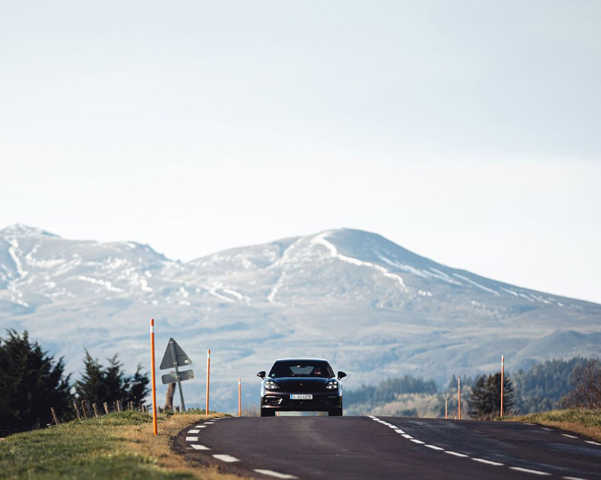
The day began early in Clermont-Ferrand, with the faint orange glow of sunrise spilling over the dark volcanic hills. The Puy de Dôme loomed in the distance, its silhouette familiar and silent. I checked the vehicle — a compact diesel Peugeot 308 — ensuring tire pressure, oil level, and wiper fluid were all up to standard. For a long drive across central and western France, such diligence is more necessity than habit. A GPS device was mounted, an old Michelin road atlas lay folded in the passenger seat for good measure, and the thermos of black coffee steamed gently in the cup holder.
Departing Clermont-Ferrand at 7:15 AM, the air was cool, roads were still relatively empty, and the sky had that distinct pale blue of a French spring morning. The goal: Poitiers, 320 kilometers to the northwest. The route would take me through a tapestry of regions, from Auvergne to Limousin to Poitou, across departments like Puy-de-Dôme, Creuse, Haute-Vienne, and Vienne. Each had its own color, landscape, and rhythm.
2. Navigating Out of Clermont-Ferrand
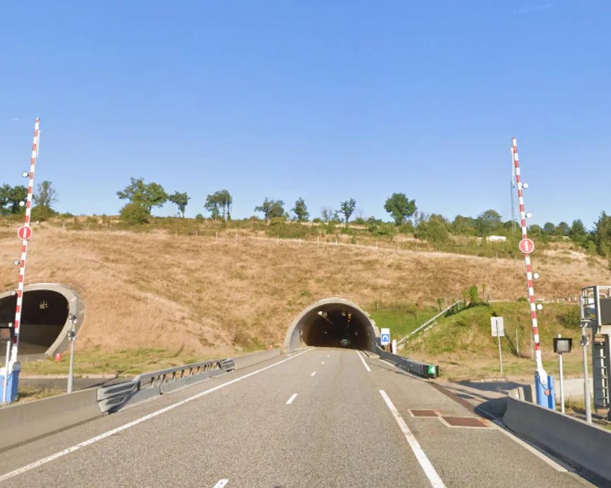
Leaving Clermont-Ferrand via the A89 motorway, the first stretch was smooth and uneventful. The A89, known as “La Transeuropéenne,” runs east-west and offers a direct route toward Bordeaux. My goal was to connect to the N145 near Saint-Victor, then transition to the A20 northward before merging onto the N147 and D951 into Poitiers. A blend of autoroutes and national roads promised variety — high-speed stretches punctuated by more leisurely countryside driving.
The toll booth near Gerzat was my first stop. French autoroutes are usually in excellent condition but are tolled. It helps to have both a credit card and cash on hand, as older booths may not accept foreign cards. I took a moment here to stretch, admire the gently rolling hills behind me, and appreciate the cleanliness of the facilities — an often-overlooked detail that makes traveling in France a true pleasure.
3. Into the Countryside: From A89 to N145
As I continued westward on the A89, past Thiers and its medieval towers high above the Dore River, the terrain changed subtly. The volcanic soil gave way to gentler farmland, dotted with cattle and the occasional cherry blossom tree. The transition from Puy-de-Dôme to Allier was marked not by grand signs or borders, but by a subtle shift in architectural style — slate roofs began to give way to red tiles, and the barns were more angular, less fortified.
By 9:00 AM, I reached Saint-Victor, where I turned onto the N145 toward Guéret. The N145 is a major east-west axis that has been partially upgraded to expressway standards. It is an enjoyable drive, less trafficked than the autoroutes but still efficient. Here, the journey turned more immersive. Trucks hauling timber, tractors merging in from side roads, and village signs pointing toward hamlets I had never heard of began to add texture to the route.
Guéret came into view by mid-morning. This small administrative town is the prefecture of the Creuse department and lies at the heart of the Limousin plateau. I stopped at a service station for fuel and a croissant. The lady at the counter, perhaps in her sixties, offered a soft smile when I greeted her in French. Travelers are always welcomed here with quiet grace, and the pace of life seems to flow like the slow-moving Creuse River nearby.
4. Midday in the Limousin: The A20 Corridor
Rejoining the A20 motorway at La Souterraine brought a new dimension to the journey. Known as “L’Occitane,” this motorway runs from Vierzon to Montauban and is toll-free throughout most of its length. The segment I joined bypassed several charming villages, but I made a conscious decision to exit occasionally and explore the smaller roads — especially the D914 near Bessines-sur-Gartempe, which offered views of rolling green hills, granite farmhouses, and hand-built stone walls.
Lunch was taken in a rest area just south of Limoges. I had packed a simple picnic: a wedge of Cantal cheese, some jambon de pays, baguette slices, and a bottle of Volvic water. I parked in the shade of an ancient linden tree, watching other travelers come and go. Some were clearly heading toward the Dordogne, others to Paris or Toulouse. One couple had a dachshund who barked with fierce pride every time someone approached their camper van.
Limoges, just a short detour from the A20, was tempting. Known for its porcelain and cathedral, the city offers a worthwhile stop for anyone not pressed for time. However, the open road called again, and I merged back onto the motorway, passing through green tunnels of oak and beech trees as I entered the Haute-Vienne.
5. Crossing into Poitou: From A20 to D951
North of Limoges, the landscape begins to flatten. Fields stretch outward like patchwork quilts, and the characteristic golden hue of Poitou’s countryside starts to assert itself. At Bellac, I left the A20 and began the journey westward on the N147 toward Poitiers. This road is narrower, sometimes frustratingly so, especially when encountering farm equipment or lorries. But it also offers the closest look into rural western France.
I passed through tiny towns like Lussac-les-Châteaux and Montmorillon, where every window box seems to be overflowing with red geraniums. One particularly memorable section was near Saint-Savin, where the road follows the course of the Gartempe River, winding between limestone cliffs and ancient abbeys.
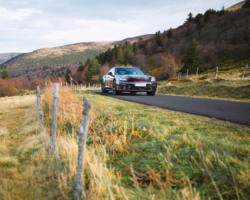
Here the driving became more meditative. The rhythm of accelerating out of bends, braking into corners, watching for signs warning of deer or cyclists — it all forms a kind of dance. The steering wheel becomes a conductor’s baton, guiding the orchestra of engine, wind, and motion.
6. Practical Tips: Driving in This Region
It’s worth pausing to reflect on several practical aspects of driving from Clermont-Ferrand to Poitiers.
Fuel Stations: They are frequent on autoroutes but rarer on national roads. Fill up before leaving major towns. Diesel is more common than petrol, especially in rural areas.
Speed Limits: Autoroutes allow 130 km/h (or 110 in rain), while national roads generally limit you to 80 or 90 km/h. Speed cameras are frequent, and mobile radar units are not uncommon. Pay attention to signage.
Local Traffic: Expect agricultural machinery, slow-moving trucks, and occasional wildlife crossings. Patience is the best tool in your glove box.
Navigation: GPS is helpful, but do not neglect paper maps. Some rural zones have poor mobile signal coverage.
Rest Areas: French highways excel in their rest areas (aires), which range from basic toilet stops to scenic picnic spots with information boards, shaded tables, and playgrounds.
Language: While larger service stations may have English-speaking staff, smaller ones often do not. A polite “Bonjour” and basic French phrases go a long way in smoothing any interaction.
7. Final Stretch into Poitiers: Rolling In with the Afternoon Sun
By late afternoon, the outskirts of Poitiers appeared. The D951, having traced an ancient Roman route, brought me in from the southeast. Fields transitioned to suburbs, then into the elegant stone facades of the old city. The skyline is marked by church spires — Notre-Dame la Grande, in particular, catching the late sunlight on its Romanesque façade.
Traffic thickened slightly, though never approached the chaos of a larger metropolis. Roundabouts multiplied, and local signage required close attention. The final segment into the city center passed through leafy boulevards and a bridge over the Clain River.
Parking in Poitiers can be tricky near the medieval quarter. I found a secure underground lot near Place du Maréchal-Leclerc and proceeded on foot. The transition from car seat to cobblestone was refreshing. My legs stretched easily into the familiar rhythm of exploration, but my thoughts remained partially on the journey just completed.
8. Roadside Observations: Patterns, People, and Peculiarities
Throughout the day, I noted recurring motifs: village cats lounging in sunlit windows, shutters painted in pastel shades of green and blue, and elderly couples walking hand-in-hand by the roadside, undeterred by passing vehicles.
Local drivers were uniformly courteous. Honking is rare outside urban centers, and the priority-to-the-right rule is still in place in many small towns, which demands constant attention at intersections. Road signs, often poetic in their phrasing — “Prudence: Écoliers” — invite careful observation.
In some hamlets, I saw community bread ovens still in use; in others, roadside crosses marked old pilgrim trails. The mix of Romanesque churches, war memorials, and occasional wind turbines formed a palimpsest of centuries layered onto the land.
9. Thoughts While Driving: Time and Terrain
Long drives offer the mind space to wander. The road from Clermont-Ferrand to Poitiers is more than a means of transport; it is a journey through time. From the lava domes of Auvergne to the chalk hills of Poitou, the geology itself narrates stories older than any cathedral. The towns, fields, and forests speak not just of agriculture and economy but of continuity — ways of life held steady for generations.
At one point near Le Dorat, a village wrapped in medieval walls, I paused briefly to gaze at a Roman milestone still standing by the roadside. There’s something grounding in knowing that travelers passed this way two thousand years ago with similar hopes: a good road, a safe journey, a warm welcome at the end.